Working Lands for Wildlife (WLFW)
The WLFW webportal enables interaction between NRCS's WLFW partners and others interested in conserving whole landscapes and empowering rural economies.
The content here augments those WLFW resources available for on USDA's website, and allows users (including landowners) access to a wide variety of information, online training materials, planning and decision-support tools, as well as access to experts, NRCS field staff, and landowners.
USDA Doubling Down on Growth of NRCS Working Lands For Wildlife!
USDA is expanding on existing working lands and wildlife conservation efforts here, while kicking off strategic improvements and adding more resources!
Focus Species
WLFW partners with private landowners to conserve large, intact landscapes for people and wildlife. We do that by focusing our efforts on “umbrella species” that act as bellwethers for how their ecosystem is faring.
Learn more about each species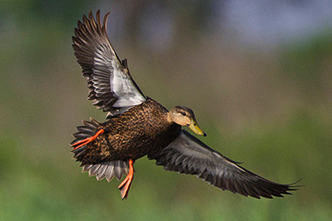
American Black Duck
Read More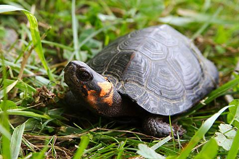
Bog Turtle
Read More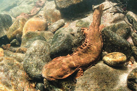
Hellbender
Read More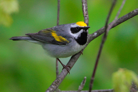
Golden-winged Warbler
Read More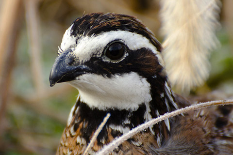
Northern Bobwhite Quail
Read More
WLFW Conservation Tools
NEW MOBILE APP!
A Mobile App to track Northern Bobwhite on Our Landscapes
The app is a citizen science tool that can be used by the public to contribute to our knowledge of the distribution and abundance of Northern Bobwhite
NEW TOOL AVAILABLE!
LITERATURE GATEWAY
A Systematic Map of Bird-vegetation Relationships in Eastern and Boreal Forests
This tool allows users to search for literature on bird species-vegetation relationships in eastern and boreal forests of North America.

NEW TOOL AVAILABLE!
BirdLocale: WLFW Landscape Restoration Bird Assessment
This tool helps biologists gather field data, including bobwhite counts and percentage cover of various types (grass, shrub, forb), using both manual and Acoustic Recording Unit (ARU) methods to capture bird calls.
FIRE MAPPING TOOL!
The SE Firemap maps all detectable fires, including managed prescribed burns and wildfires, across nine states in the southeastern United States.
See the NRCS WLFW website for specific information on: WLFW national and state-run target species partnerships; priority geographies for implementation; strategic plans published by USDA; how to participate in Farm Bill programs; and news and blogs about WLFW activities.


