


Remote Sens. 2024, 16(9), 1547; https://doi.org/10.3390/rs16091547 (registering DOI) - 26 Apr 2024
Abstract
Low-frequency debris flows often lead to severe disasters due to large energy releases and strong concealment. However, the understanding of formation conditions, movement processes, and disaster-causing mechanisms of low-frequency debris flow is still limited, especially regarding occurrences within the large catchment (>50 km
[...] Read more.
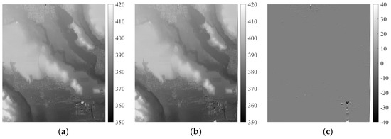
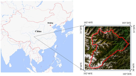
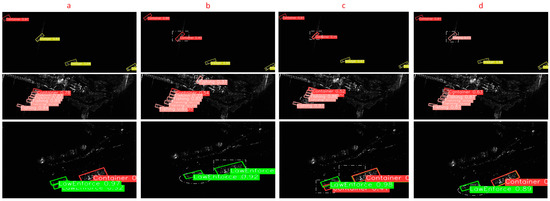
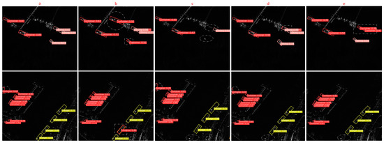
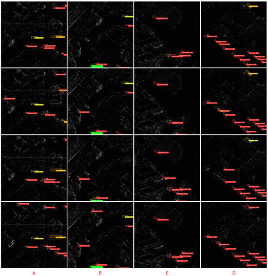
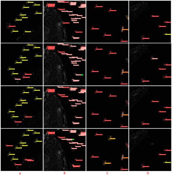
Low-frequency debris flows often lead to severe disasters due to large energy releases and strong concealment. However, the understanding of formation conditions, movement processes, and disaster-causing mechanisms of low-frequency debris flow is still limited, especially regarding occurrences within the large catchment (>50 km2). This study presents a typical case of large-scale, low-frequency debris flow occurring in the Heishui catchment (102.65 km2), Pingwu County, China. The movement process, disaster characteristics, and causes of the Heishui debris flow were analyzed in detail through field investigations and remote sensing interpretation. The results indicated that the Heishui debris flow is a large-scale, low-frequency, dilute debris flow with a recurrence period of over 100 years. The debris flow was primarily initiated from the right branch gully, Longchi gully, triggered by a local rainstorm with a maximum hourly rainfall return period of over 20 years. The main cause of casualties and building damage is attributed to large energy releases from boulder blockages and outbursts that occurred in the middle part of the main channel. This led to a sudden increase in peak discharge to 1287 m3/s, with a volume of 3.5 × 10⁵ m3 of solid materials being transported to the outlet of the gully. It is essential to enhance the identification of debris flows by comprehensively considering tributary gullies’ susceptibility and strengthening joint meteorological and hydrological monitoring networks in the middle and upper reaches within large catchments. This preliminary work contributes towards improving prevention and mitigation strategies for low-frequency debris flows occurring within large catchments.
Full article
(This article belongs to the Special Issue Anticipation of Flash Floods and Rainfall-Induced Hydro-Geomorphic Hazards)


